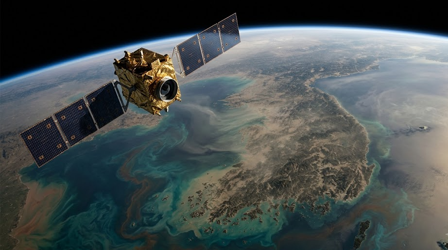
A project to develop a geostationary environmental and ocean satellite has cleared the preliminary feasibility study. It is the Chollian Satellite 6 project, planned jointly by the Ministry of Climate, Energy and Environment, the Ministry of Oceans and Fisheries, and the Korea AeroSpace Administration. The approval was made public on August 25. Total project cost has been set at about 769.4 billion won.
The development period is seven years. Work begins in 2027 with a launch targeted for 2033. The three agencies will soon begin drawing up detailed project plans, securing budgets, and selecting research and development institutions.
The template for the mission this satellite will inherit is Chollian Satellite 2B, which went up in 2020. At the time, 2B was the first in the world to carry an environmental payload that continuously watched air pollutants such as fine dust during daylight hours from geostationary orbit. 2B was also the first geostationary satellite to carry an environmental payload and an ocean payload on the same craft. Satellite 6 takes over that observation work.
2B's mission ends in 2030.
What Satellite 6 will see is broken down more finely. It will add observation channels and raise resolution to read ultrafine dust, ground-level ozone, and air disturbed by wildfires. At sea it will track red tides, oil spills, and the movement of low-salinity water. Capturing air pollutants at an average neighborhood (dong) scale is the goal of the environmental payload.
Figures for the performance improvements have also been released. The environmental payload's spatial resolution tightens from 7×8㎞ to 4.5×5㎞. A new visible-light channel at 540-740㎚ will measure ozone and aerosols within 2㎞ of the surface more accurately, and will generate new observation data such as nighttime illumination and sun-induced chlorophyll fluorescence.

The ocean payload's channels increase from 12 to 16 with five polarization channels added, and the signal-to-noise ratio rises about 30% from 788 to 1030. On that basis, the plan is to distinguish harmful algae by species and to monitor sea fog as well.
2B ran its environmental payload and ocean payload in alternation, 30 minutes each. Satellite 6 turns both on at once. Observation time also increases to 60 minutes. These performance figures are targets from the project design stage, so there is room for them to be refined during development.
Technological self-reliance is another axis of the project. Geostationary satellite payloads, which have relied on foreign sources until now, will be produced domestically. A hybrid propulsion system combining chemical and electric propulsion, along with the technology to run the environmental and ocean payloads simultaneously, will also be developed at home. The Korea AeroSpace Administration plans to shift to a private-sector-led satellite development system to broaden corporate participation, and to have domestic industry take charge of building the satellite system and the bus as well.
Kim Jin-hee, head of the satellite division at the Korea AeroSpace Administration, described Satellite 6 as a core national space asset and said the agency would expand domestic development of core technologies. Jang Myo-in, director of the Korea Hydrographic and Oceanographic Agency, said ocean observation records accumulated over more than 30 years from Chollian Satellite 1 through 6 would be used for oceans and fisheries policy and for responding to climate change. Sung Ji-won, head of the air quality research department at the National Institute of Environmental Research, said the experience gained from developing and operating 2B would be carried up into Satellite 6 and used in environmental information services.
Observation is where response begins. Knowing where and how much conditions have worsened is what makes it possible to decide what to cut. Once the satellite starts scanning the air at the neighborhood level, the targets of emission reduction policy become that much more precise. It is something that has to wait until 2033, but in the meantime the data produced by 2B keeps flowing.
Images of air quality over the Korean Peninsula observed by the environmental satellite are released by the Environmental Satellite Center of the National Institute of Environmental Research. How nitrogen dioxide has spread in the skies over a given region can also be checked there.