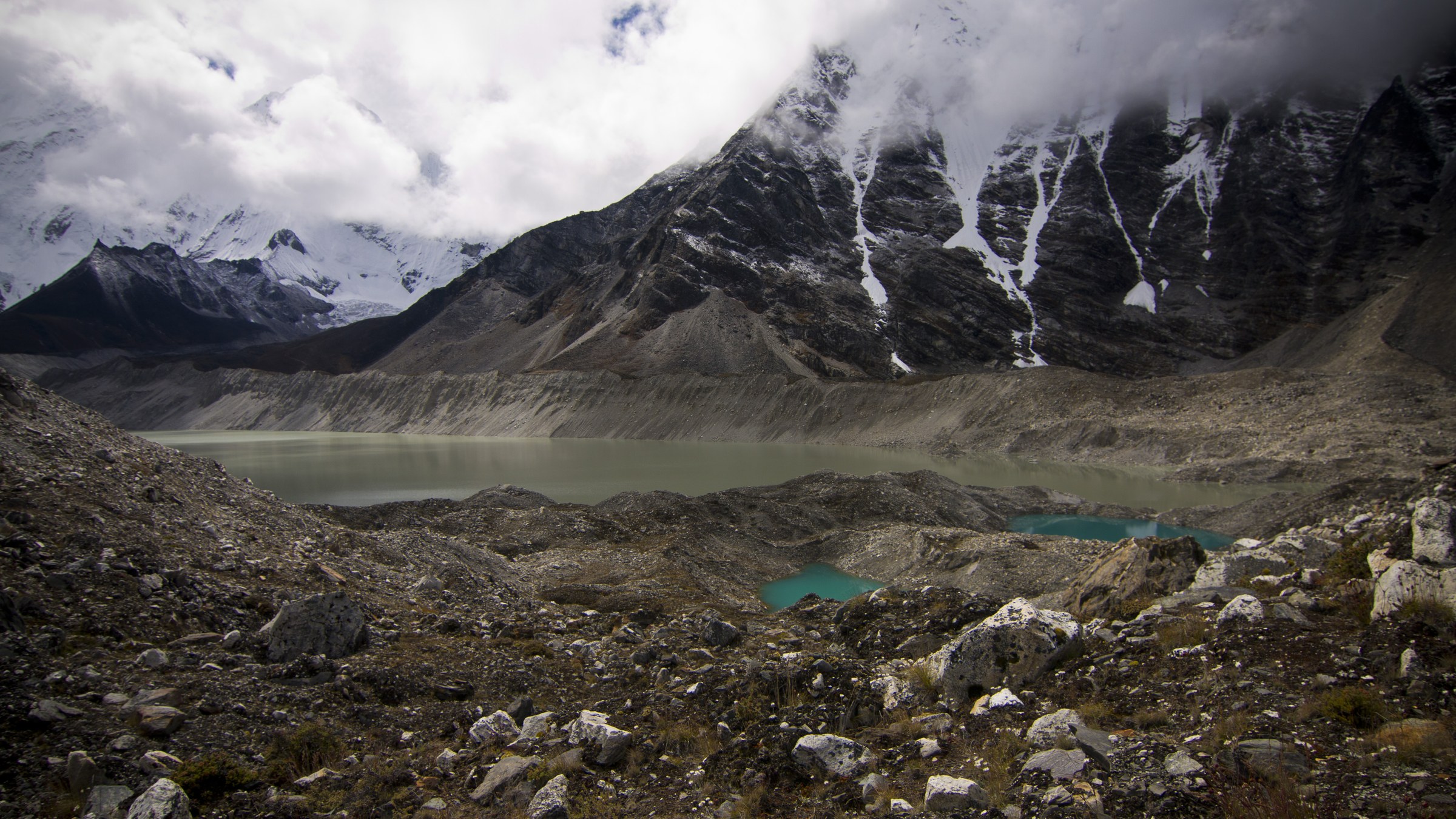
In the high Himalayas, 3,624 pools of water hang in place. In a count released on Aug. 31 by the International Centre for Integrated Mountain Development, 47 of them were classified as potentially dangerous, lakes whose dams could someday give way and bury the valleys below, and each lake was even listed by name. Then water did pour down, on the border between Nepal and Tibet. A tally of 1,003 dead and 4,462 missing was released on the afternoon of Sept. 1.
The place the water reached first was the border checkpoint where Nepal meets China's Tibet. A five-story building collapsed and disappeared whole. One account said a mass of glacier that broke off the mountain came down, sweeping rock along with it and growing in size before it struck the checkpoint, but as of the Aug. 31 report, work to determine how the disaster occurred was still under way.
Which lake burst, and how, is for the investigation to answer. Which lakes were precarious, and who was watching them, was on record before the disaster.
Imja Tsho stands as something like the symbol of that list. It has been counted as the most dangerous of the Himalayas' very large glacial lakes, and work to lower its water level was carried out. Even so, the lake keeps growing. That means that while one site is held in check, new pools left by melting glaciers are multiplying throughout the valleys.
The difficulty of monitoring glacial lakes lies in the terrain. The lakes holding the water are mostly above the border, and the villages that receive the water are below it. It was about three months ago that Nepal's flood forecasting office asked the Chinese side to let it receive readings on the movement of upstream glaciers in real time. The Nepali account is that the working-level talks ended without a firm answer, on the grounds that the other side had no authority to conclude an agreement.
On this matter, an assessment emerged that neither the cause nor the responsibility nor the response can be settled within a single country. If those downstream do not know what the monitoring equipment upstream has read, the people who live along the valley get time to flee only after the water has arrived.
The effects do not stop at the Himalayan countries. Jannatul Naim Pial, a Bangladeshi reporter, noted in a column in The Daily Star that the river system that begins in the Himalayas runs all the way into his own country. That piece carried the understanding that what happens in the mountains passes through several countries to reach the river mouth.
What can be hoped for is that the solution does not have to be invented anew. The list of dangerous lakes has been drawn up, the method of lowering water levels has a precedent in the work done at Imja Tsho, and the technology for passing upstream readings downstream has been standardized. What has been missing is an agreement to hand that technology across the border. The very fact that a classification of 47 and a separate count of eight are circulating at the same time shows that the work of bringing risk assessment into one shared standard still remains.
South Korea's mountain and climate research institutions and its development cooperation projects also touch on this field. Checking under what names cooperation on Himalayan glacial lake monitoring and support for early warning equipment are being carried out, and where the budgets and results are disclosed, is something any citizen can do.
Water flows without reading border markers. The checkpoint was built to check passports, but what surged into that place that day was a glacial lake that had burst upstream. The 3,624 lakes remain where they are, and the next summer will come without fail.