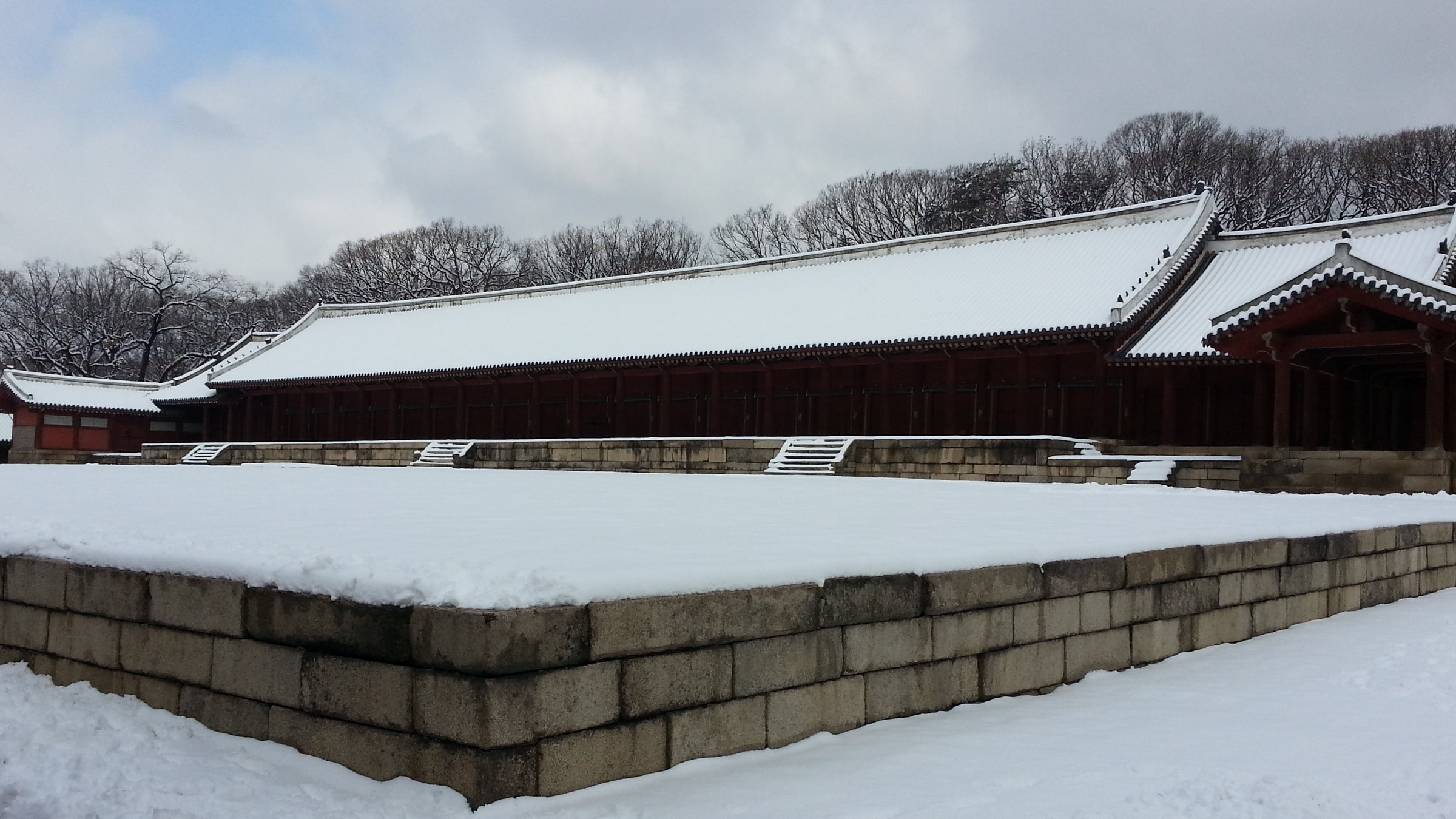
Walking the woldae terrace in front of Jongmyo's Jeongjeon hall on a winter afternoon, the granite surface rasps underfoot. Water marks left by half-melted snow spread along the grain of the stone, and the long eaves of the gabled roof press the sky downward. This lowness did not come about on its own, it is the result of the surroundings stepping back to match that lowness over a long time. Depending on what rises beyond the wall, this sensation could disappear within a single season.
Before the controversy surrounding Sewoon District 4 across from Jongmyo had cooled, housing supply on the site of the Taereung Golf Course in Nowon-gu brought the same issue back. One is an aging commercial district in the middle of downtown, and the other is a broad lawn beside a Joseon royal tomb. The circumstances of the two sites are not alike at all, yet the moment when the conflict erupts matches oddly. Only after the outline of the project has been almost fully drawn does the phrase heritage impact assessment come onto the stage.
So this collision is a question of order before it is a contest of strength between preservation and development. Heritage impact assessment has been treated as a gate to be cleared at the end with the finished drawings in hand, and at a review opened that late, whatever conclusion comes out, someone feels betrayed. When the assessment moves to the first sentence of a project, it becomes a tool that sets the coordinates of development beyond a device that blocks it.
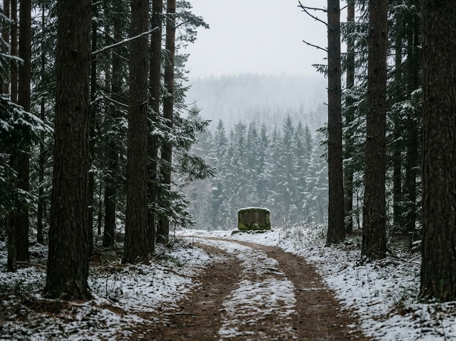
In the winter woods around Taereung, the red grain of pine bark and the smell of dried resin reach you first. The low stone figures in the tomb grounds do not rise above a person's height, and what has sustained that lowness was the empty sky around them. The lawn that goes by the name of a golf course has also long functioned as part of that empty sky. Deciding how to use that open space touches a far wider range than a change of use for a single lot of lawn.
The counterargument is strong, of course. The pain of people pushed outside the city because there are not enough homes is not abstract, and a call to protect a roofline from several centuries ago can sound idle next to that pain. The point that leaving the areas around royal tombs and shrines all empty would sharply reduce the land in Seoul available for large-scale supply is also close to fact.
But moving the order forward differs from a choice that cuts the total volume of supply. If how high one may build and which views must be left open are settled before design, developers can calculate density to its maximum on top of those conditions. The current way of tearing up a fully drawn plan after the fact burns time and money instead. An assessment that arrives late does damage to preservation and to supply alike.
Putting the assessment first does not make the conflict disappear. What counts as worth protecting remains a matter to be fought over, and that fight becomes a public debate when it takes place before the drawings come out. Rather than letting years pass while carrying the risk that the conclusion will be overturned, agreeing on the conditions at the starting point is more honest for everyone.
The path running along the Jongmyo wall ends in a little over ten minutes on foot. If you raise your head on that path and check what is visible above the roofline, you find that the administrative term height regulation is in practice a question of eye level. The same experiment is possible on the Taereung forest path. Before winter ends, anyone who looks up at the sky in each of the two places once will carry in the body a standard more precise than any decision document still to come.